Blue Jay Point County Park, Wake County, NC
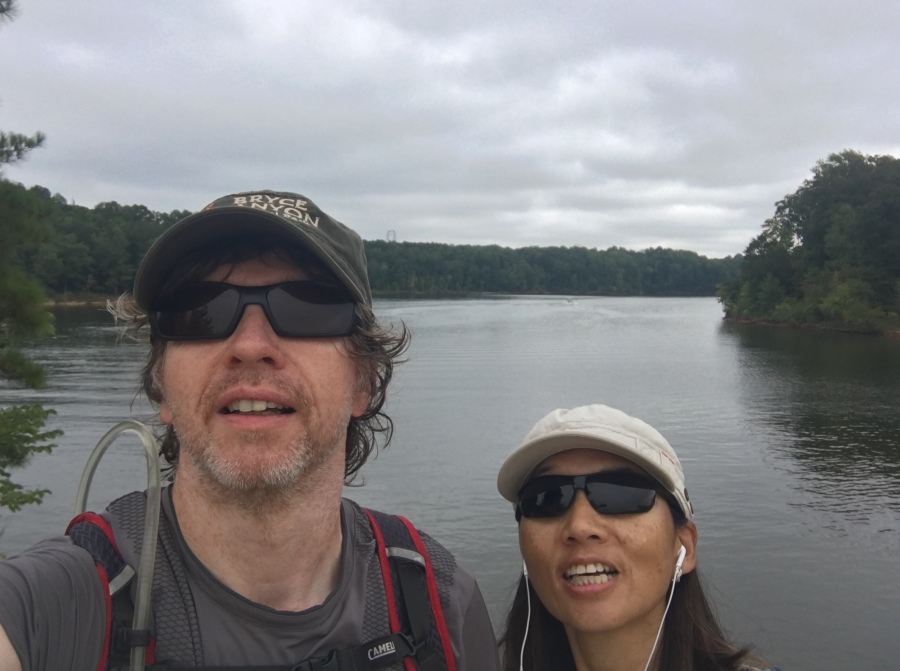
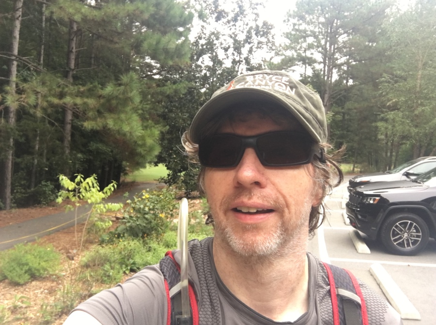
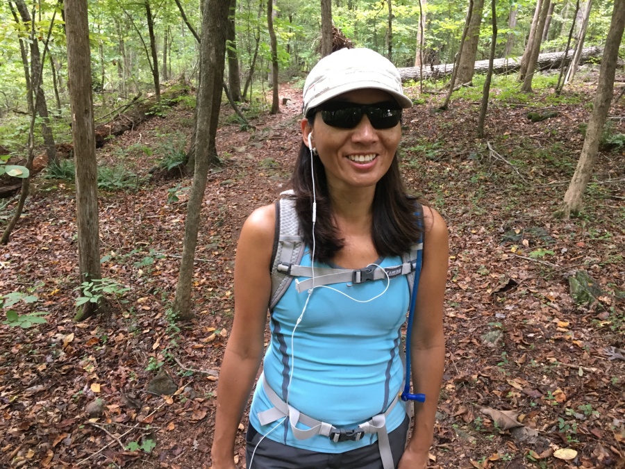
**We have added Blue Jay Point County Park to our list of best local hikes. The park hosts part of the Mountains to Sea Trail, the continuous footpath that links the twin highlights of the Tar Heel State…it’s fabulous seacoast and its mountainous Western Border. It is one of our favorite hikes in the Raleigh area. This one was our first hike since returning from France to hike the Tour du Mont Blanc.**
Sylvia and I REALLY like the Big Hikes. Such as the Tour du Mont Blanc.
But we also enjoy the small hikes, especially hikes we can do practically right in our own back yard. In fact, it’s pretty much a given that if you don’t do the small hikes, when it comes time to do the Big Hikes, you’ll be sorry you skipped the small ones.
A very fine place to hike near our home in North Raleigh is Blue Jay Point County Park.
We are VERY fortunate to live in a city with an excellent Greenway System and a very fine (and ever expanding) network of parks. Since we have moved here, the city and Wake County have opened a Neuse River Greenway, Wilkerson Nature Preserve and Horseshoe Farm Park. And just last year, they added excellent Forest Ridge Park.
This is in addition to an area that already had more than its share of natural acreage…such as William B. Umstead State Park and Falls Lake Reservation…and Blue Jay Point.
Blue Jay Point lies along the shores of Falls Lake, a US Army Corps of Engineers Lake which provides Raleigh which much of its water supply. It’s a very scenic area and very close to home.
In theory we could walk right from our door to Blue Jay Point along the Falls Lake Trail, which is a section of the Mountains to Sea Trail. But the trail loops back and forth so much along the winding lakeshore that it would take us all day to reach it.
The twenty-minute drive is a bit easier.
Though it is not an especially large park (236 acres) it seems much larger. Partly this is due to its location in a remote corner of Wake County, the second most populous county in North Carolina. That, plus half the preserve borders open lakefront, rather than developed land.
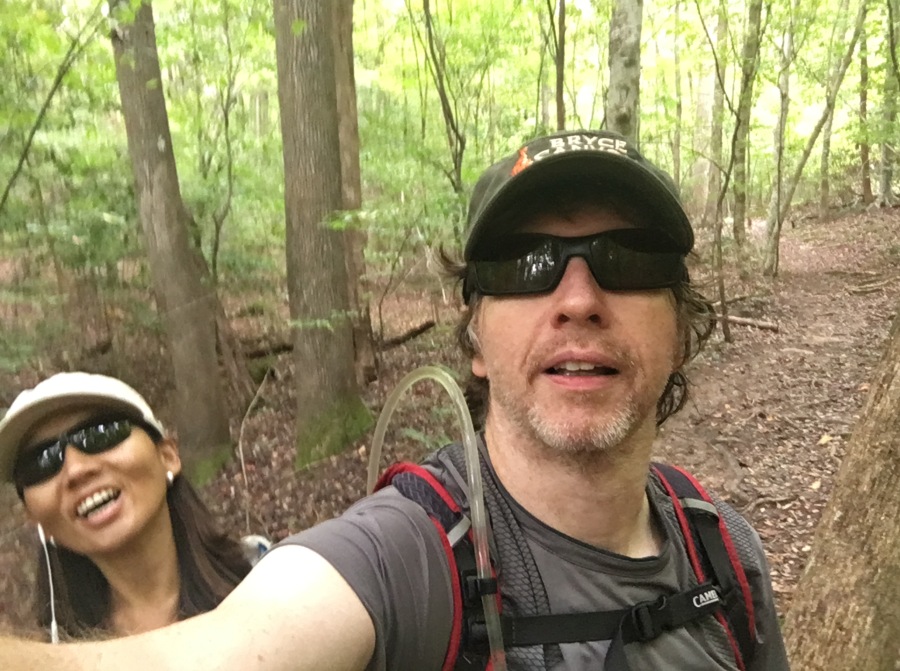
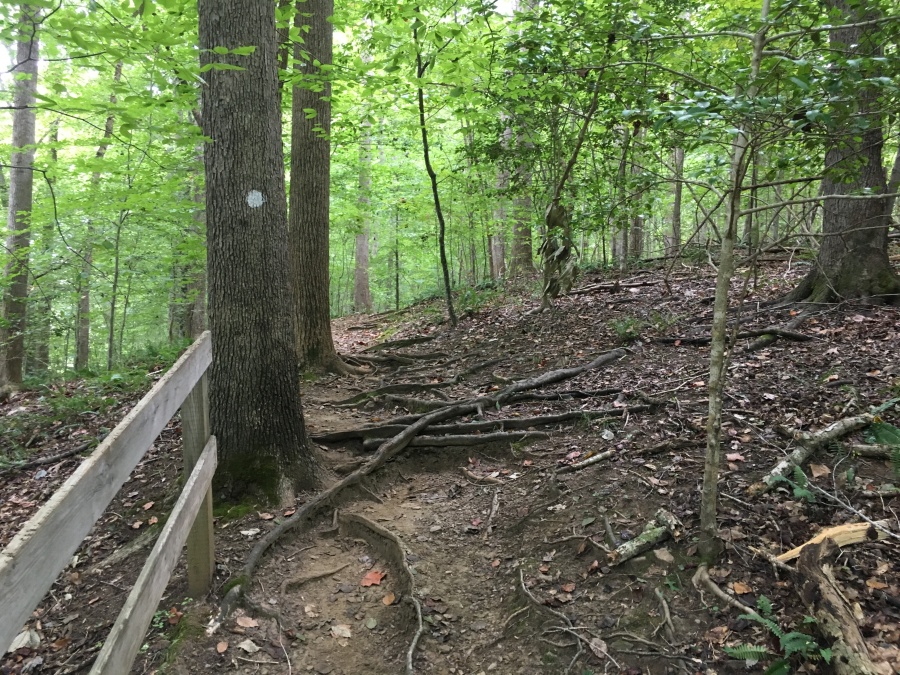
A very substantial section of the Mountains to Sea Trail runs through the Park. In fact, it’s probably the best section of trail in the Falls Lake area. You seem to walk a VERY long way through the woods for such a small park.
An odd thing about the MST along Falls Lake is that you can pick up the trail in many places, hike along it for miles…and then end up just a short distance down the same road from where you started. That’s the case with the BJP section, which begins on Six Forks Road, and end a short way down the same road. In fact, you could drive the whole way in less than a minute.
The Map below illustrates the in-and-out curvy nature of the trail as it explores almost every cove along the waterfront.
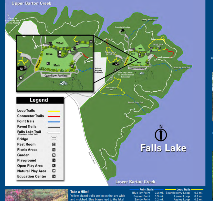
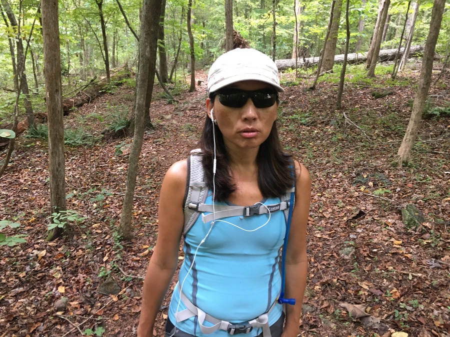
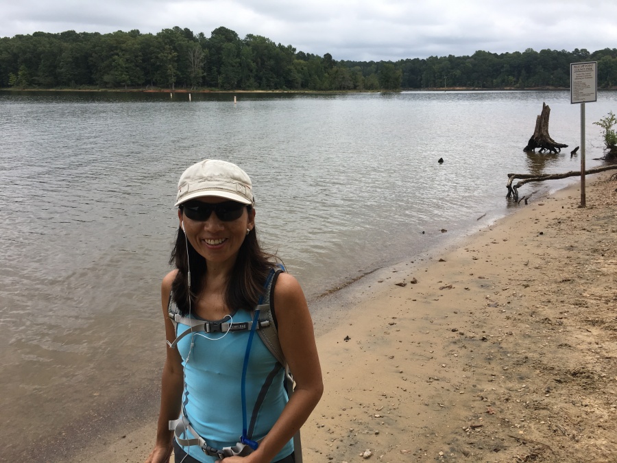
Many people park on the road and walk the trail in one direction or the other. We picked the trail up in the middle at the visitor center and walked first West, then East.
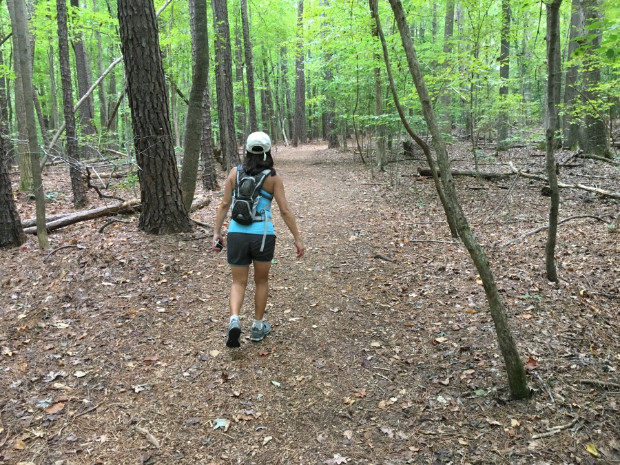
It’s a pretty short walk from the Park’s excellent visitor center to the western boundary. Going east, it’s much longer…we walked for a good hour.
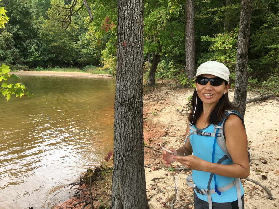
It’s not a flat trail…many small ups and downs as the trail crosses creeks, bluffs, and small ridges.
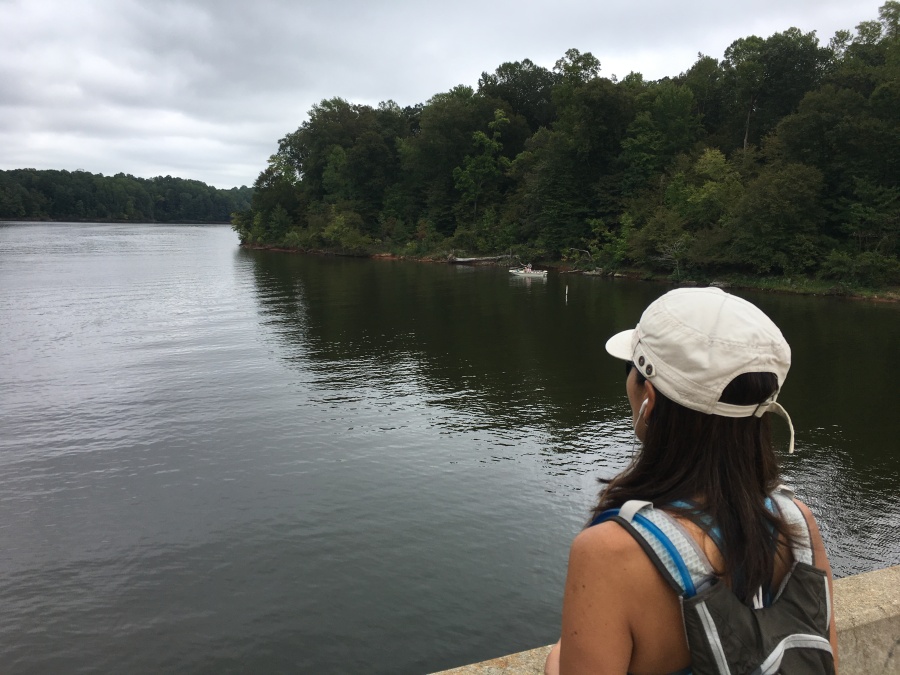
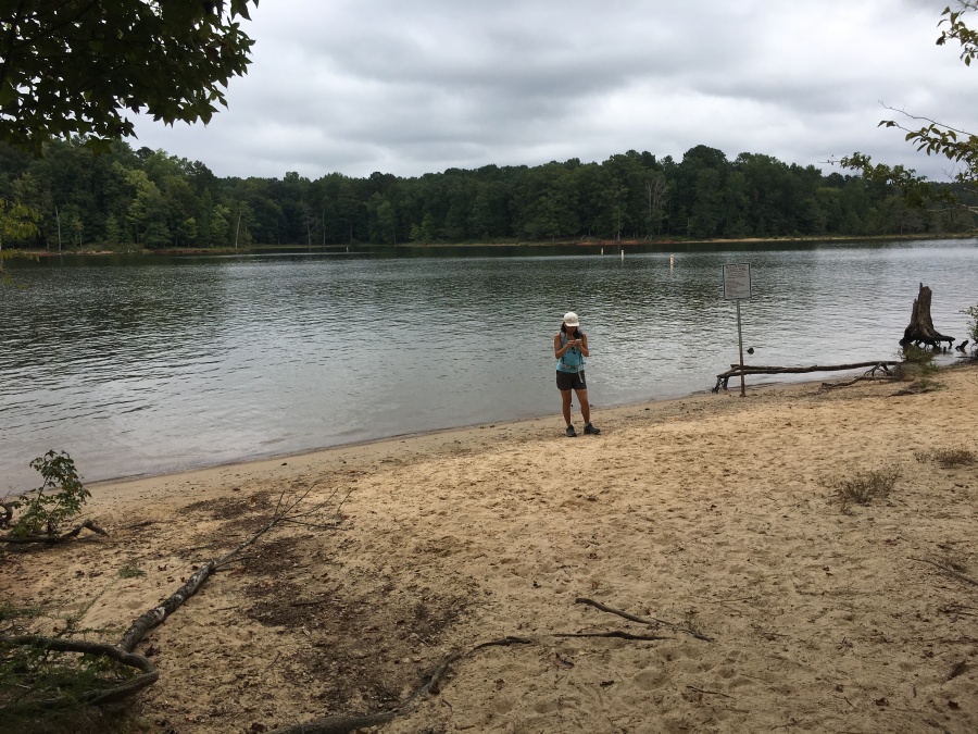
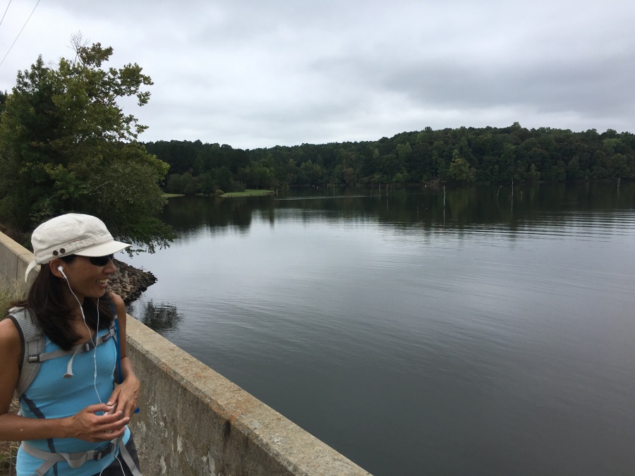
Several times it passes good views of the lake. The best is at Sandy Point. Much of Falls Lake is hemmed in by development (which is increasing) but you cannot see much of it from the shore.
Contrast this view with Forest Ridge Park on the lake’s far shore.
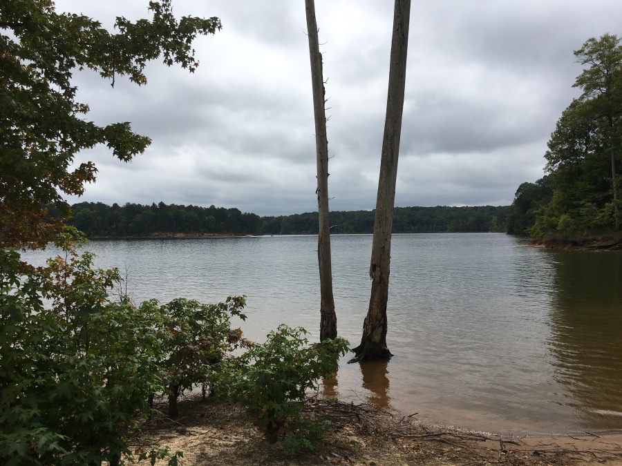
These pictures were taken just prior to Hurricane Florence, which dumped as much as two feet of rain on some parts of North Carolina. The Wake County Area was spared…still, even weeks later the river remains high as they slowly drain the flood swollen lake out via the dam. Many of the scenes pictured would have been under water very recently; some might still be.
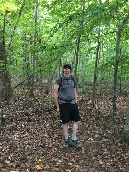
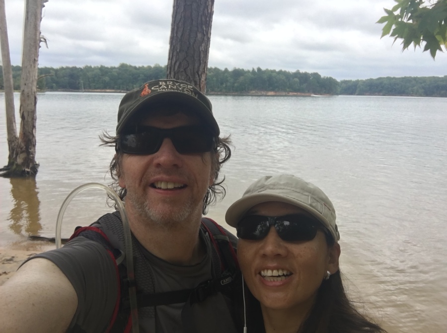
This was our FIRST hike following the Tour Du Mont Blanc. We felt great!
You get very few glimpses of any development along this trail. There is some noise that invades from motorboats out on the lake…and one section passes near a popular zipline. But overall the experience feels like you are deeper in the wild than you truly are.
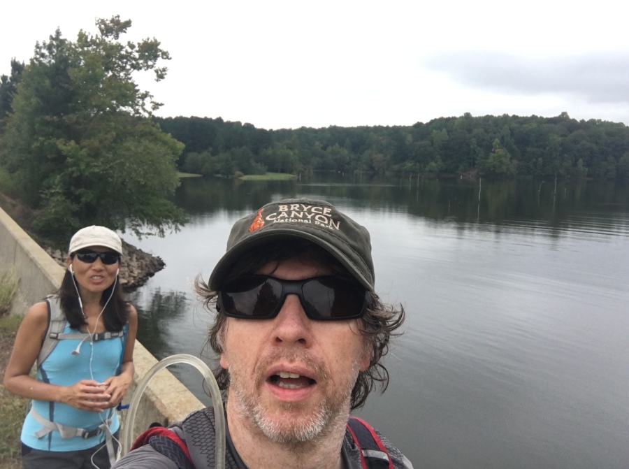
It felt especially great to be hiking with packs, and to know we had no major passes to cross. But we still miss Mont Blanc. ☹
We generally see a lot of wildlife at Falls Lake. We saw a hawk and a couple deer this day. Other times we have seen owls, ospreys…We often see deer along this trail…though the numbers of deer in Wake County have been thinned lately, probably from disease.
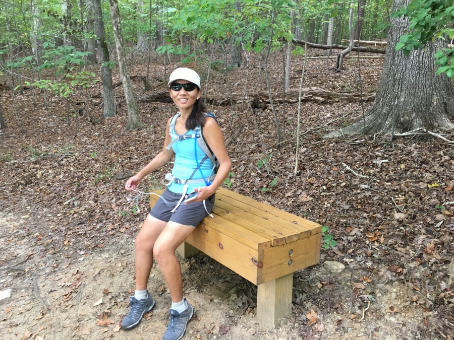
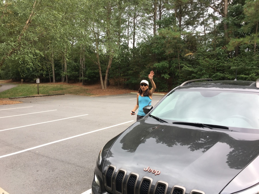
After a great hike we finally make it back to the car! Sylvia is anxious to get some coffee.
All in all, a great day! We seldom find Blue Jay Point to be all that crowded, as Umstead Park sometimes is.
We hope that the county and city officials continue to do everything in their power to limit the encroachment of development along the shores of Falls Lake. The demand for housing in the Raleigh area is high; its easy to forget that once the land is developed, you can’t go back again. The effects of development last a generation at least…and sometimes they are permanent.
We strongly recommend a hike at Blue Jay Point Park! It’s a great little place to get in shape for the great big places!