Medoc Mountain State Park, Halifax, NC
**We have added Medoc Mountain State Park to the list of our Best Hikes in the Triangle Area. Okay, so there’s no actual mountain here…it’s still one of the best and least crowded outdoor getaways within an hours drive of Raleigh.**
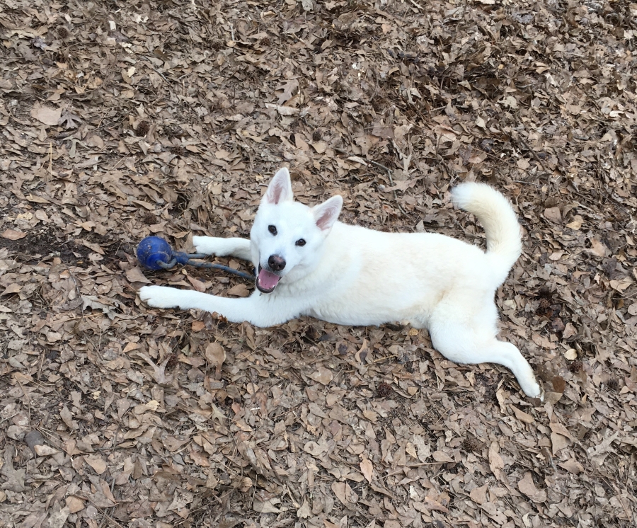
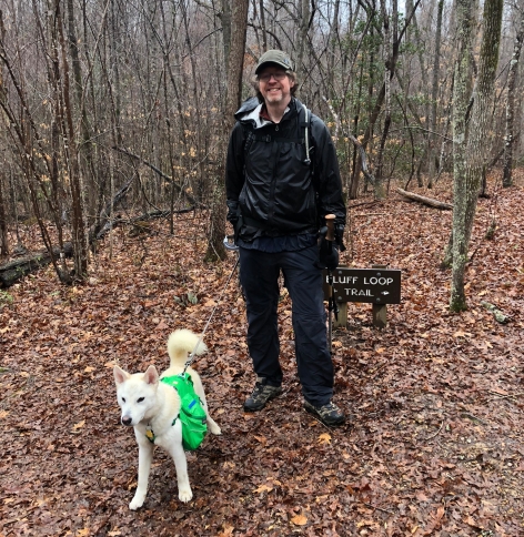
For our first official expedition with new team member Fitz Roy, the captain of the future BecauseItzThere dogsled team, we chose Medoc Mountain State Park in North Eastern North Carolina.
Medoc Mountain is not exactly what most people think of when they envision mountains. In fact, it’s not really even a good-sized hill. About 350 million years ago a formidable set of Volcanos stood on the spot of modern day Medoc Mountain. Only a rocky remnant of them remains. I guess you had to have been there about the time the Brontosaurs were to appreciate it.
Today, the ‘summit’ of the park sits at a lofty 325 feet above sea level — which would not even make it the highest ‘mountain’ in Florida. Needless to say, altitude is not a factor on any of the hikes in this park.
What Medoc Mountain does have are some surprisingly big river bluffs and some surprisingly steep and rugged terrain for a location as far to the east in the Carolinas as it is. Most of what surrounds the park is flat bottomland forest or plain old swamp.
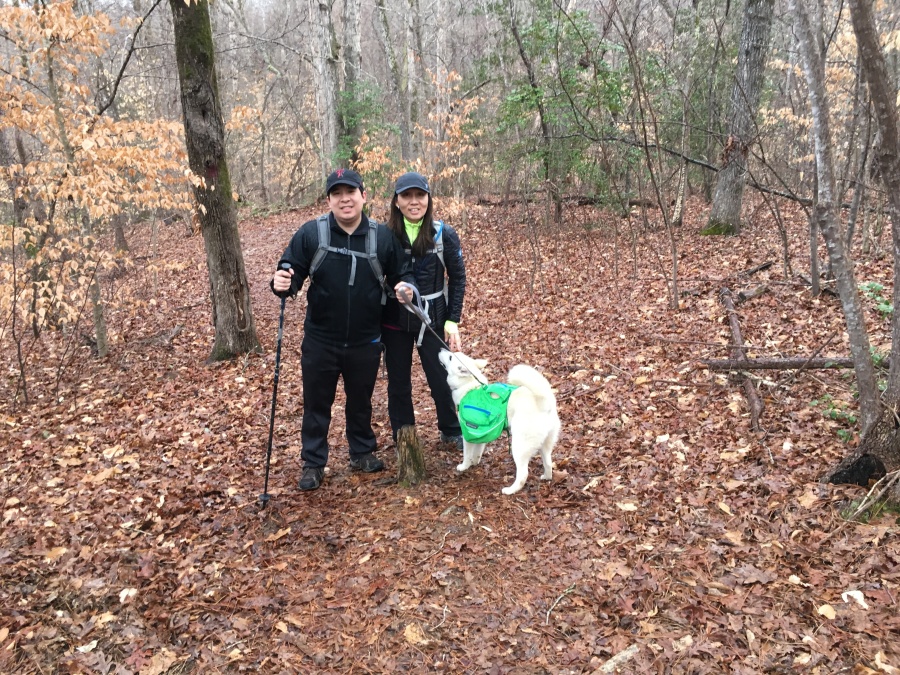
Medoc Mountain is only about an hour from Raleigh, but nonetheless is quite off the beaten path; there is nothing of note around it except the small cities of Louisburg and Rocky Mount, NC. No one thinks to go east to a mountain, so it gets very little visitation compared to, say, Umstead State Park. This makes it a very attractive place to show a new teammate the ropes…or in this case, the leash.
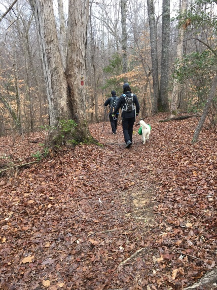
We chose the Bluffs Trail which lived from near the picnic pavilion. We saw three other people and one dog in the parking area, but no one at all on the trail itself.
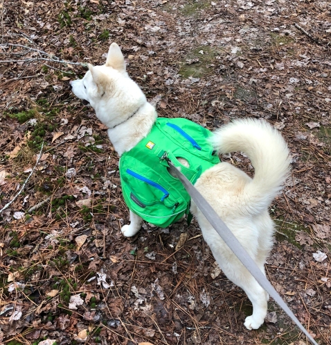
Fitz looked spiffy on his new green backpack and was ready to hit the trail.
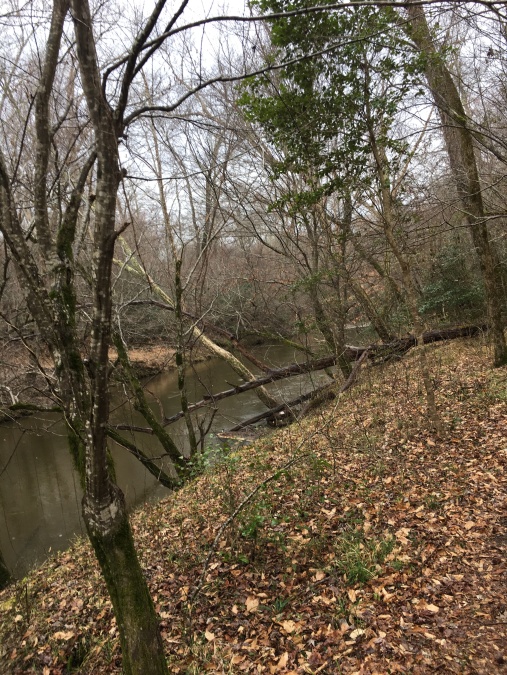
The trail starts out in the piney lowlands near Fish Creek, which according to the park website is reputed to be ‘one of the cleanest in the area.’ Note that in Eastern North Carolina this is not saying a great deal; many of the creeks in this area are contaminated from close proximity to agriculture, mining or manufacturing. Fish Creek did look clean…looks of course being no reliable indication of how potable water is at all. No matter, we always bring our own water.
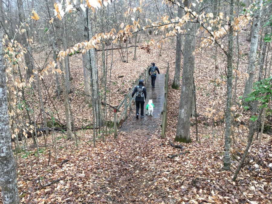
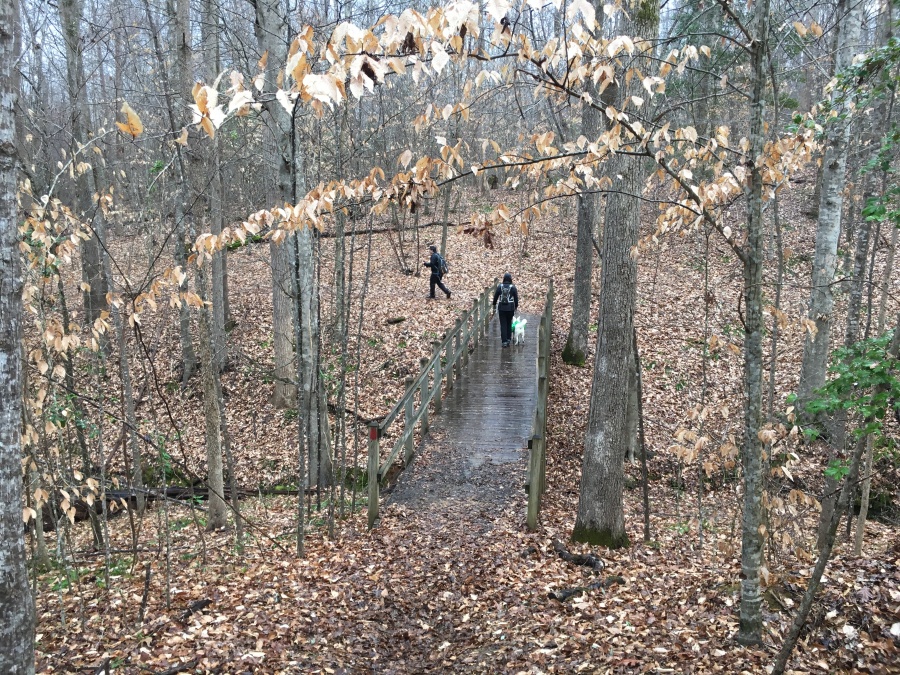
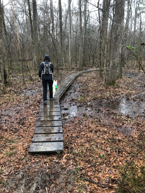
It also rained on us almost from the beginning of the hike. Suffice it to say, dehydration was not a factor on this day. But hypothermia might have been…it was a balmy 36 degrees at the start of the hike. Despite this, the spring peepers were out.

The ‘Medoc’ refers to grapes that once grew in the area which were cultivated for wine. North Carolina’s Eastern Piedmont does have a wine growing history, for those who do not know…though I would not exactly compare it to Tuscany, the Napa Valley or Alto Mendoza.
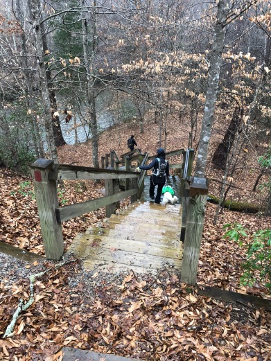
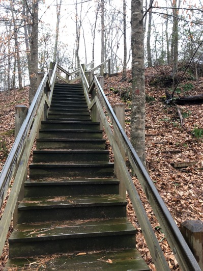
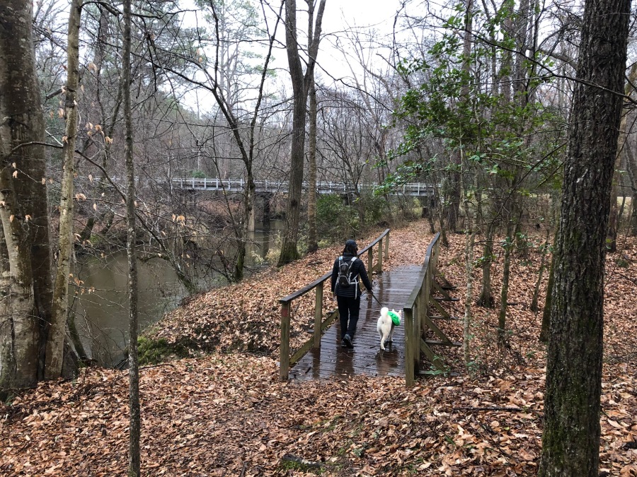
The trail soon rises on wooden steps to the first of several bluffs over the creek. These are surprisingly impressive, with fine views up and down the wide creek…helped by the fact that leaves are off, giving good visibility. The trail forms a loop just over 2.5 miles, and the trail sign states it requires two hours. Actually, it could probably be done by a fit hiker in one.
There are benches set along the way at some of the best viewpoints. Be prepared for some mud along this trail unless it is a dry season.
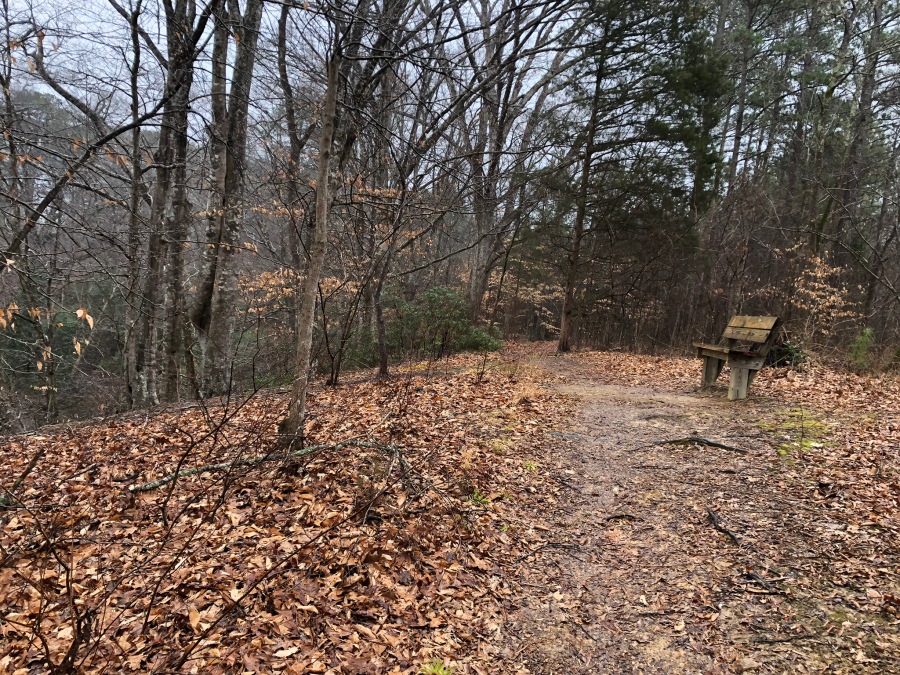
In the clockwise direction, the trail out has all the best views of the creek. After reaching a road bridge it loops back, the return portion being just above the outbound leg. The return section is flatter and less interesting and has fewer views of the creek, besides which it is in close proximity to a road. But on the whole it is a nice loop. You can’t really get lost; just look for the red blazes at junctions, and don’t get distracted by the trails just to your right on the way back…it’s the same trail you came in on.

We arrived back at the cold, damp picnic pavilion for a meal of sandwich wraps and doggy treats, after which we left for home. Fitz promptly fell asleep.
The cold rain just kept pelting down, but it was a good hike. This is a great place for hiking with a dog…just bring the leash, it’s required. We enjoyed the hike and the park and will return here to hike the ‘summit’ trail next time. There’s no view but the woods are pleasant.
We may come back and do camping here one day, but not in summer…it would be too humid and buggy for us.
We would recommend Medoc Mountain State Park to Triangle Area dog walkers, hikers and trail runners. It’s a nice diversion from the beaten path, and is as far as we can see about as nice a park as W.B. Umstead, with one tenth the crowds.
Just curb your enthusiasm about the mountain part.

Next up: We return to the Grand Canyon for the first post highlighting Brian’s North-South Traverse.